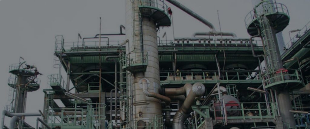
Oil Refinery
Keeping an overview of complexity can be one of the most challenging aspects of an operation. Doing it efficiently is seemingly insurmountable.
Challenges to consider

Shutdowns
Turnaround for repair or maintenance can be an issue when thousands of barrels of oil are waiting to be processed.

Complex Structure
Congested pipe runs create a complicated network that leaves little room for error when designing and installing new equipment.

Regulatory Compliance
Increasingly stringent environmental and safety regulations require plants to quickly retrofit to remain compliant.
benefits of lidar documentation

Comprehensive
Documentation
With 3D laser scanning you have all the data at your fingertips allowing you to properly manage repairs and coordinate maintenance plans.

Powerful
Insights
With our powerful software solutions 3D laser scanning data can be leveraged to its fullest potential, allowing for the software to identify clashes, surface issues, and even tank roundness analysis.

Safeguarding
Personnel
With the ability to capture 3D measurements, the information provided allows for improved visualization and thereby better communication with all team members involved.
discover solutions
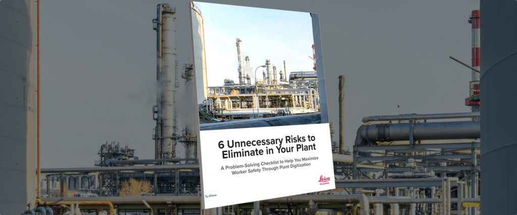
Checklist: 6 Unnecessary Risks to Eliminate in Your Plant
Discover how to minimize or eliminate common risks through a digital remote management strategy built on a foundation of accurate, comprehensive point cloud data.
How Laser Scanning Raises the Bar on Digital Plant Engineering
“There is never any question that every project begins with scanning; the value that it adds to projects is evident.”

Plant Accessibility Issues Keeping You from Laser Scanning? Try a Scanning Robot Dog
A new integration of Leica Geosystems’ RTC360 technology onto Boston Dynamics agile mobile robot Spot opens new possibilities for digital remote management.

Creating your digital Twin
Achieve near-zero rework by documenting everything in sight to avoid errors and additional site visits.
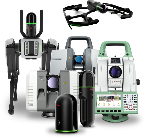
Laser Scanning Solutions
Whether your data capture priorities are distance, speed, accuracy, flexibility, ease of use, autonomous operation, or all of the above, Leica Geosystems provides industry-leading solutions that simplify your digital transformation.
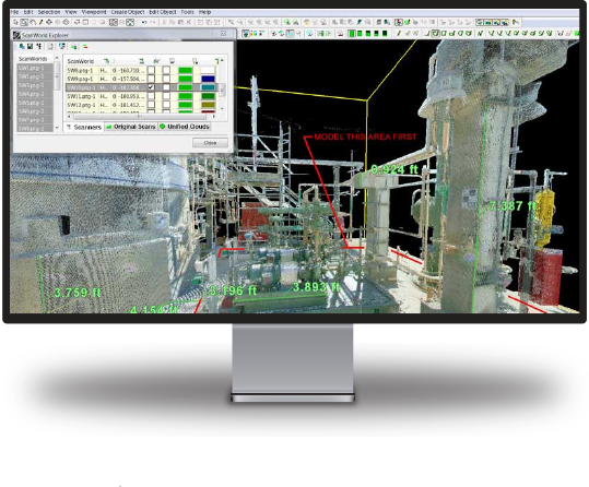
Software Solutions
The security, accessibility and usability of your laser scanning reality capture data is crucial to maximizing operational efficiency and obtaining the best return on your investment. Leica Geosystems software leads the industry for transforming vast amounts of digital data into intuitive yet powerful information assets.
Seamless Integration
Our solutions are compatible with the most popular third-party software, making it easy to integrate reality capture into your existing workflows.