The Power of Photogrammetry
CAPTURE THE DETAILS
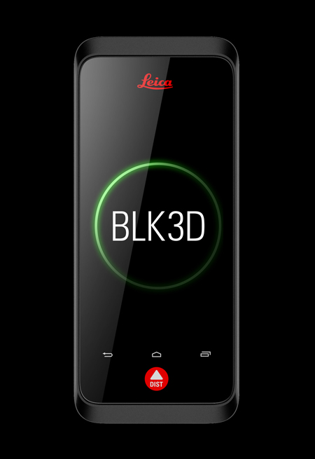
Add 3D measurable, annotated images to your point clouds with the Leica BLK3D real-time, in-picture handheld 3D measurement tool. With the Cyclone FIELD 360 software, you can geotag images directly in your RTC360 and BLK360 point cloud data.